Destination: Pellicer Creek and Pellicer Flats.
Chart of the fishing spot: ![]()
![]()
![]()
Chart of the fishing spot Pellicer Flats: ![]()
Directions: Pellicer Creek is on the St.John’s and Flagler county line. It can be accessed from Faver-Dykes Park and Princess Place Preserve from I-95, or from the ICW just north of Marineland on A1A. To reach Faver-Dykes Park take I-95 to Exit #298 which is US-1. Go north on US-1 for 300 yards and turn right on Faver-Dykes Road, then proceed 1.5 miles on Faver-Dykes Road to Faver-Dykes State Park. To reach Princess Place Preserve take the same exit but proceed south on US-1 to Old Kings Road (approximately 1.5 miles). Old Kings Road is an unpaved grade road and is well marked on US 1. Turn left on to Old Kings Road and go about 1.5 miles to Princess Place Road and make a left into the preserve.
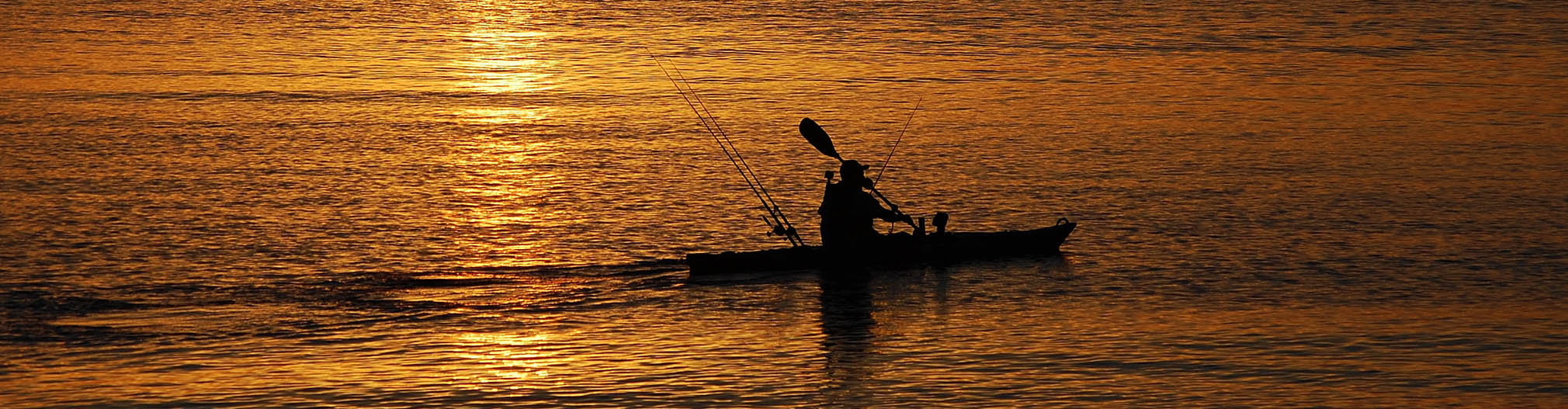
Description: Pellicer Creek extendes from west of I-95 and works east on the St. Johns-Flagler county line to a large creek mouth at the ICW. Pellicer Flats is the area at the creek mouth and to the south. Pellicer offers a lot of water, numerous launches, campgrounds, and a nice variety of fish.
Difficulty: Easy.
Closest Bait&Tackle Shop: Coastal Outdoor Center
Launches: There are 3 primary launches to get you into the Pellicer Creek or Flats areas for kayak fishing, and they all have safe parking.
- L1 – Canoe launch at the Faver-Dykes Park campgrounds. This is an easy launch but it is somewhat of a long paddle to get to the more productive fishing areas to the east. Park entry is $3.
- L2 – Launch at Princess Park Preserve campgrounds. You can paddle straight out into Pellicer Creek, or take a channel to the right about 50 yards from the launch and paddle through to the “flats” side. Beware the footbridge – get those poles down low! If you go thru the channel, left takes you back towards the creek, right takes you into a flat. IMPORTANT – Princess Place is open from 7 a.m. to 6 p.m. only, Wednesday-Sunday. Entry is free (Courtesy of g4vpm).
- L3 – Another good launch for Pellicer is on the East side of the ICW just north of Marine Land on A1A. There is a small parking lot on the west side of the road. Put in, paddle south on the ICW and take the creek west at the second red marker bouy you hit. That will get you into the flat of the creek mouth (courtesy of keastman).
TerraServer Maps: Aerial View : Topo View
Google Maps: Aerial View : Topo View